We spent nearly three months in Goa on one trip, and in 2026 we returned to this wonderful Indian state – this time for half a year. Of course, we explored the entire area and can tell you about the forts we found most interesting – those built or captured during the Portuguese administration.
Here’s how our list turned out. Let’s go from fifth place to first. Of course, it’s a matter of taste – they’re all great in their own way – and I’ve noted what makes each one special.
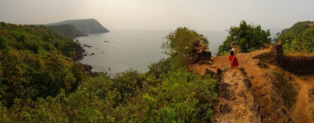
Chapora Fort
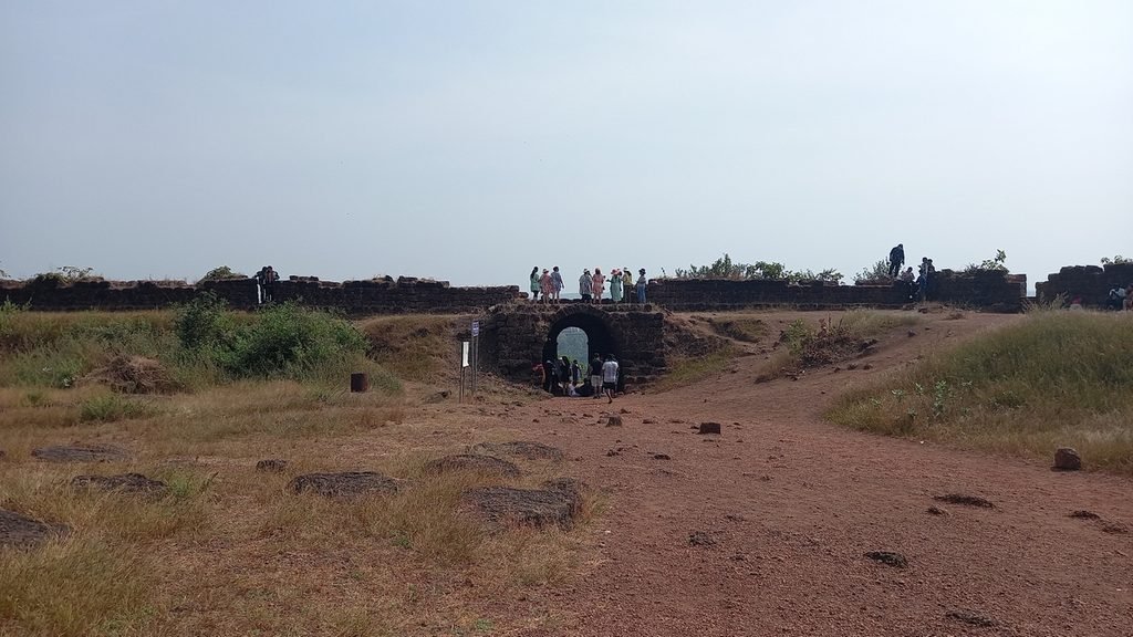
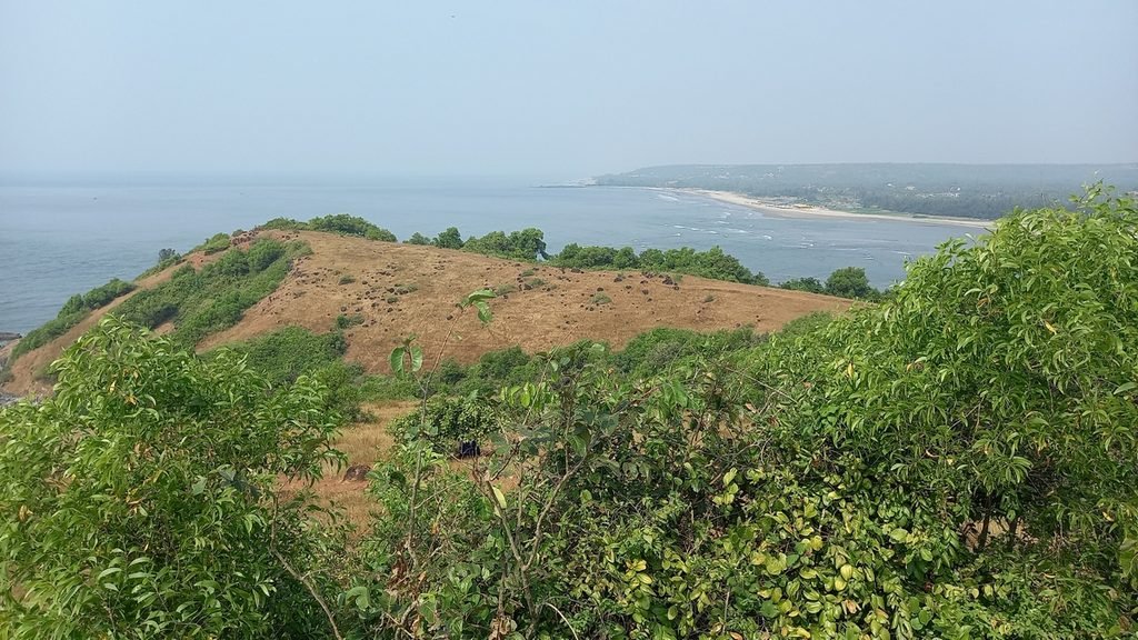
Chapora Fort is located on a hill at the mouth of the Chapora River in North Goa, not far from Vagator Beach. The fort walls offer views of the Arabian Sea, the mouth of the Chapora River, and the neighboring beaches. Most of the structures have not survived: today, you can see the remains of red laterite walls and bastions. Laterite is a type of stone used to build almost everything along this coast of India.
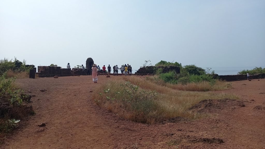
The fortification existed here as far back as the Bijapur Sultanate. The Portuguese rebuilt it in 1617 to defend the northern border of their territories. The fort changed hands several times during conflicts with the Marathas and was finally abandoned in 1892. Chapora gained additional fame after the release in 2001 of the film “Dil Chahta Ha”, thanks to which many people call it the “Dil Chahta Hai” Fort.
Visitor Tips
Admission is free, which is a nice bonus. It’s about a 10–15-minute walk from the parking lot at the base to the summit along a steep, rocky trail. It’s best to wear shoes with non-slip soles and bring water: there are no restrooms, drinking water, or shade at the top. There is a restroom before the climb, as well as many stalls selling water, food, and souvenirs.
It’s most comfortable to arrive in the late afternoon, when the heat subsides. However, many tourists gather here for sunset, so you’ll need to try to secure a good vantage spot.
How to Get There
Chapora Fort is located about 10 km from the town of Mapusa and not far from Vagator Beach. You can get there by taxi or scooter; there are also buses from Mapusa heading toward Vagator and Anjuna that stop near the fort. See the map below, and here are the coordinates for your GPS: 15.604428038440169, 73.73693565931983.
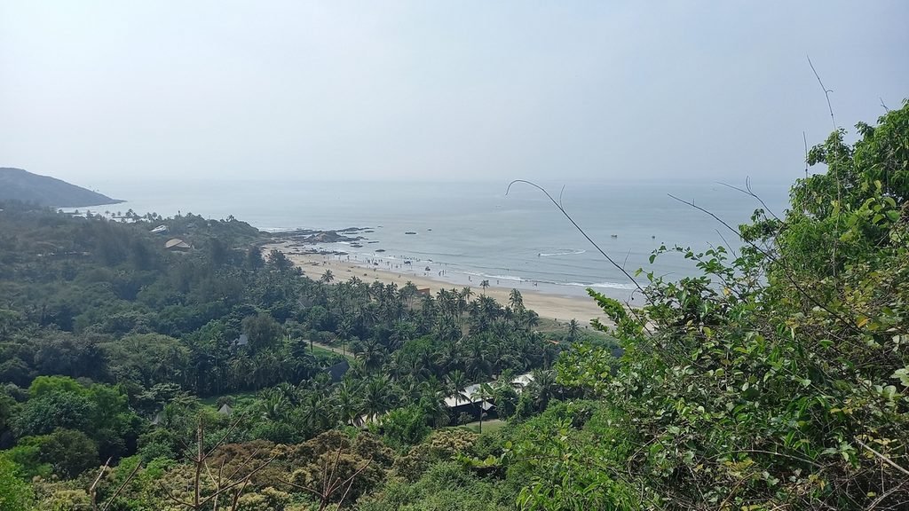
My rating: fifth place. Despite the lack of buildings, it scores high on two counts: gorgeous views and free admission. The lack of shade can be a bit of a drag if you visit during the hottest part of the day.
Location on the map
Betul Fort
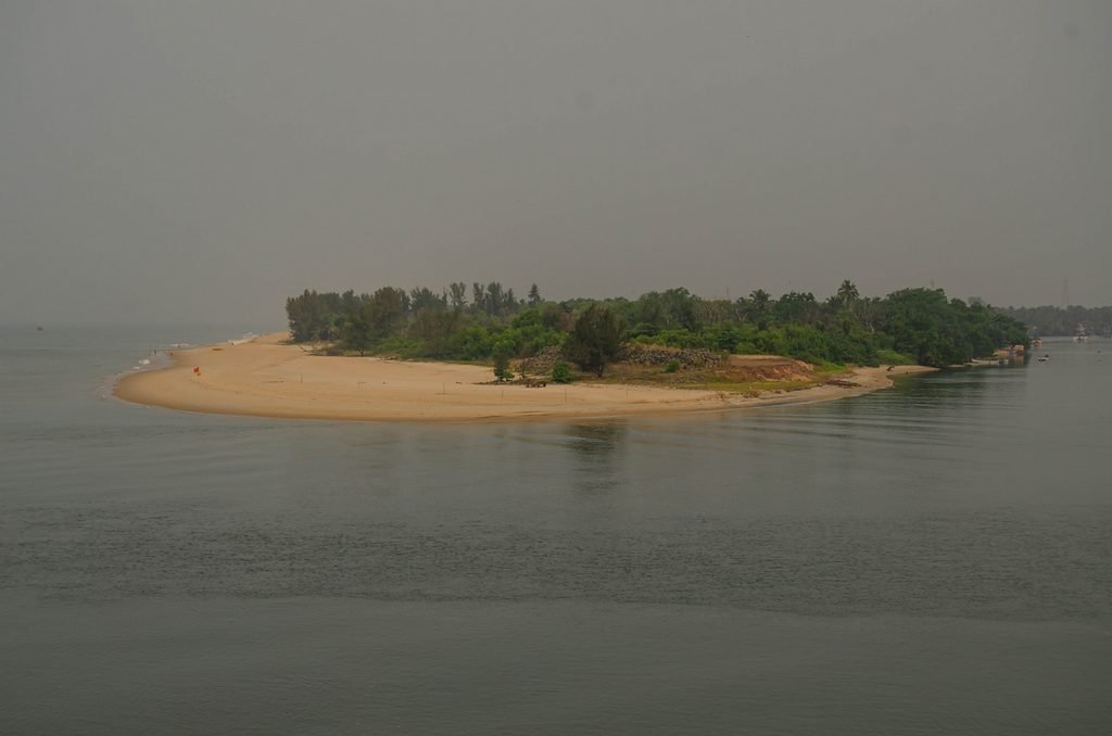
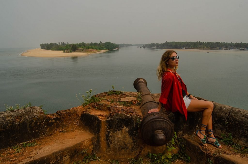
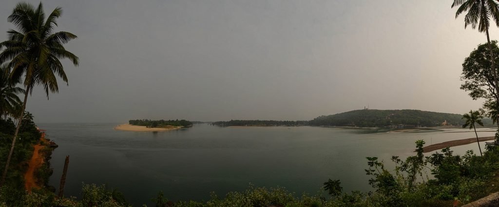
Betul Fort stands in South Goa, at the mouth of the Sal River, where it flows into the ocean. By and large, only one bastion of the fort has survived, so a tour won’t take long. But its main attraction is its elevated location and the view of the river, the coast, and the fishing port.
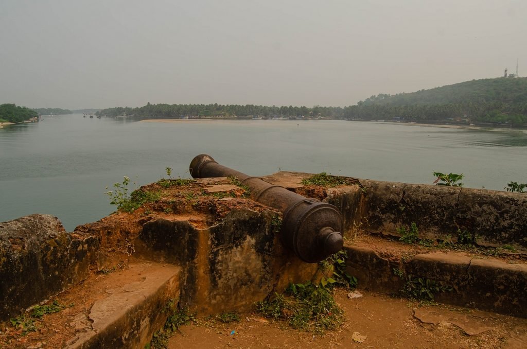
The fort was built in 1679 by order of the Maratha ruler Shivaji. It served as an observation and defensive post, allowing for monitoring of Portuguese movements at the river’s mouth. According to the Goa Department of Information and Public Relations, this is the only fort in the state built by Shivaji during his lifetime. The fort later fell into disrepair, and its ruins caught the attention of local history enthusiasts, who undertook the restoration of the monument.
Visitor Tips
A 15–30-minute tour is sufficient; no special footwear is required, and there’s no need to climb. You won’t need any money either. If time permits, take a trip to Betul Beach, which is visible from the fort. If you’re a strong swimmer, it’s entirely possible to swim there. You can also combine this trip with a visit to the local lighthouse, but we didn’t have time to go there.
How to Get There
The fort is located about 22 km from the Margao train station. The most convenient way to get there is by scooter or taxi. However, there are also buses running from Margao and Agonda. It’s about 500 meters from the roadside stop to Betul Fort.
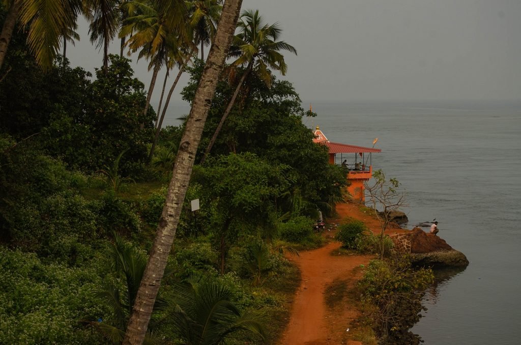
My rating: fourth place. It’s an intimate, off-the-beaten-path spot with no crowds of tourists – that’s what makes it wonderful. But what’s even better is the view of the Sal River flowing into the sea, the lighthouse, and the fishing village.
Location on the map
Fort Aguada
This is perhaps the most famous fort in Goa. But that doesn’t mean it’s bad – quite the opposite; millions of tourists can’t be wrong! What I’m getting at is, be prepared for crowds.
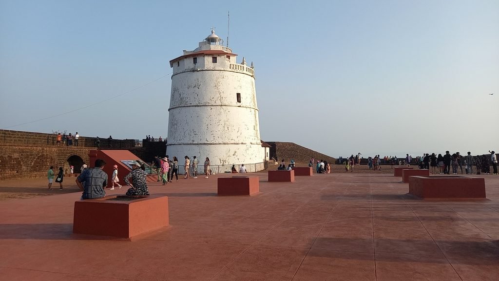
The secret to its popularity lies largely in the fact that it’s one of the best-preserved Portuguese forts in the region. The fortress walls offer views of the Arabian Sea and the mouth of the Mandovi River. Here you can explore the old bastions, the inner courtyard, and a very photogenic historic lighthouse.
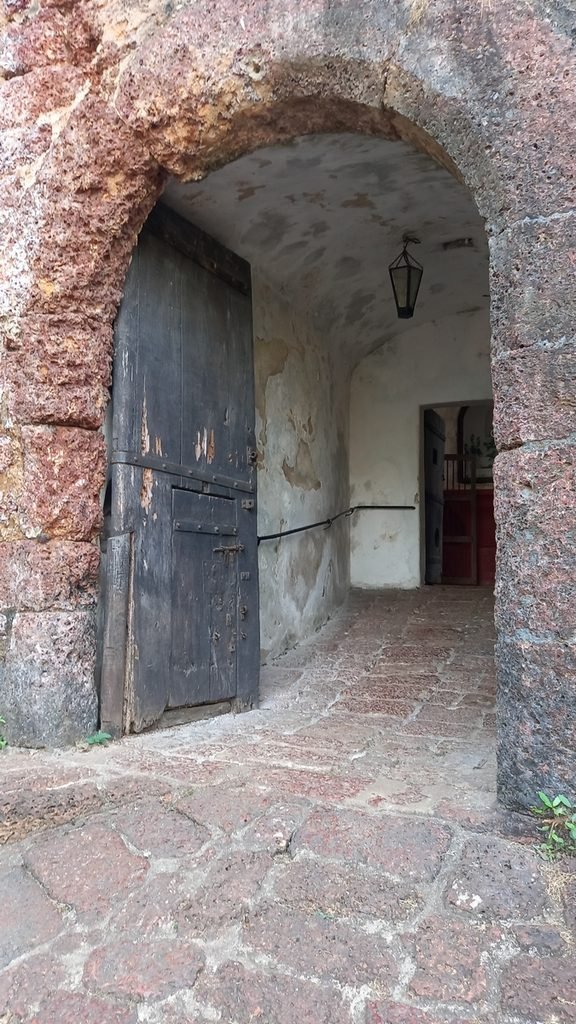
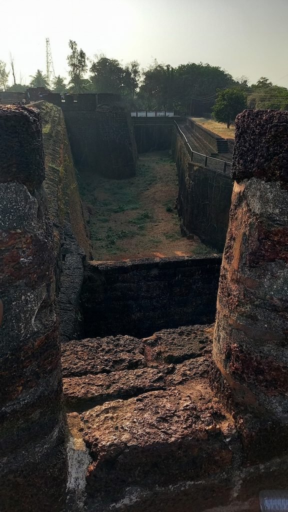
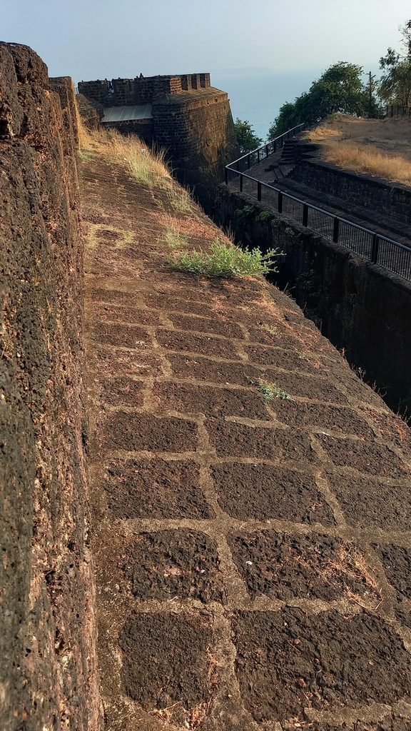
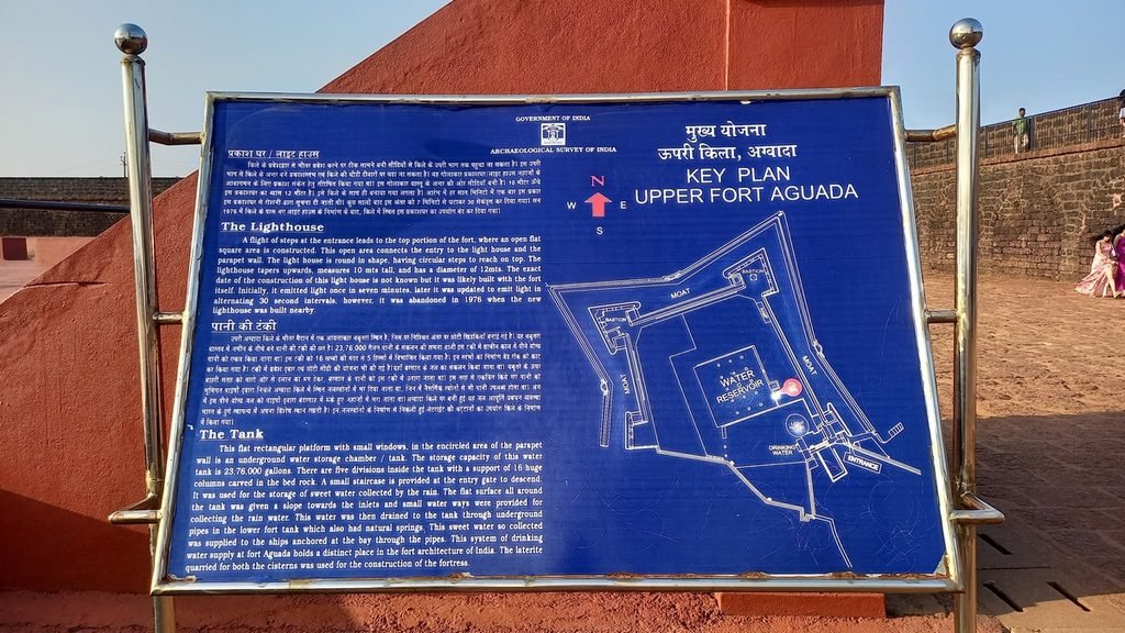
The Portuguese built the fort between 1609 and 1612 to defend the sea approach to their territories and Old Goa from Dutch and other attacks. The name comes from the Portuguese word “água,” meaning “water”: inside there was a freshwater spring and a large reservoir where passing ships could replenish their supplies. In 1864, the authorities added a lighthouse to the grounds. Today, it ranks among the oldest in Asia. Later, the metropoly administration turned part of the complex into a prison, where they held members of the movement to liberate Goa from Portuguese rule.
Visitor Tips
The fort is open daily from 9:30 a.m. to 6:00 p.m. Admission for foreigners is 250 rupees when paid online (copy this link: asi.paygov.org.in/asi-webapp) and 300 rupees at the ticket office. For Indian citizens, admission is only 20 rupees.
Important note: Do not confuse the Upper Fort with the lower fortifications near Sinkerim Beach and the former prison, which houses a separate museum complex – the Fort Aguada Jail Museum.
How to Get There
The fort is located approximately 16 kilometers from Panaji. You can take a bus to Calangute or Candolim, but it’s still 5 kilometers from the nearest stop at the Gustavo Monteiro Stadium to the fort.
From Calangute, Candolim, and Sinkerim, it’s most convenient to take a taxi or a scooter. A road about four kilometers long leads from Sinkerim Beach; the walking route is shorter – about two kilometers – but quite steep.
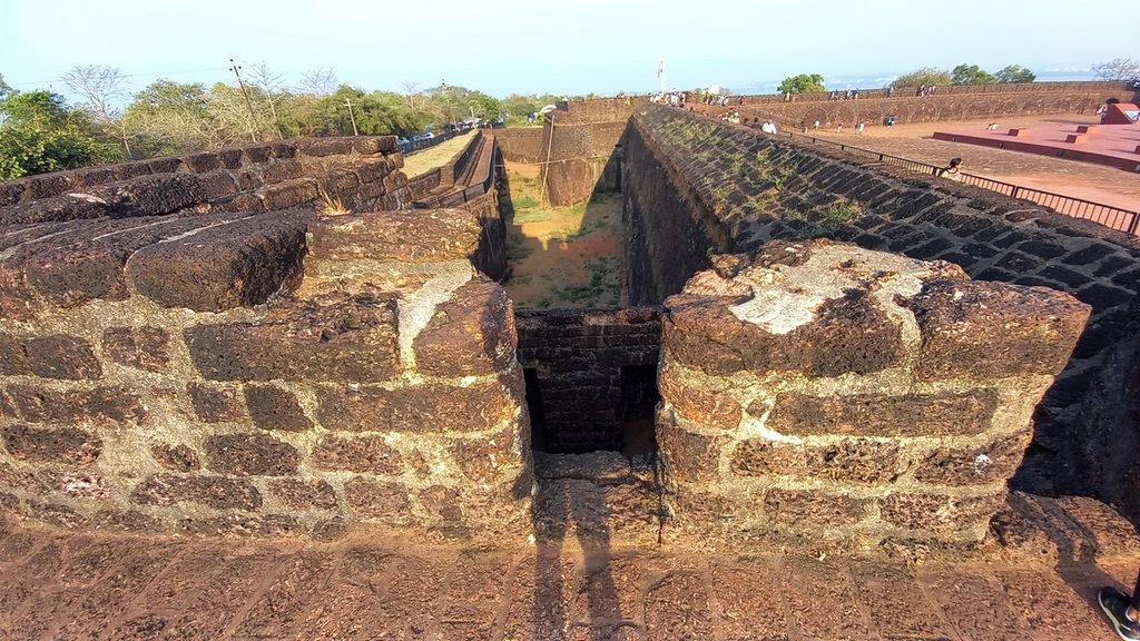
My rating: third place. Its popularity doesn’t take away from the place; it’s still awesome even with a bunch of tourists, and there are plenty of interesting spots around the fort itself – it’s best to come by scooter.
Location on the map
Fort Tiracol
Fort Tiracol stands in the far north of Goa, at the point where the river of the same name flows into the Arabian Sea. Looking at a map, it might seem as though this is already in the state of Maharashtra, since it’s on the river’s northern bank, but it’s actually a small part of Goa.
The fort stands on a hill and offers views of the river mouth, the coastline, and Kerim Beach. Unlike many other Goan fortifications, this site retains both its fort walls and the Church of St. Anthony in the inner courtyard.
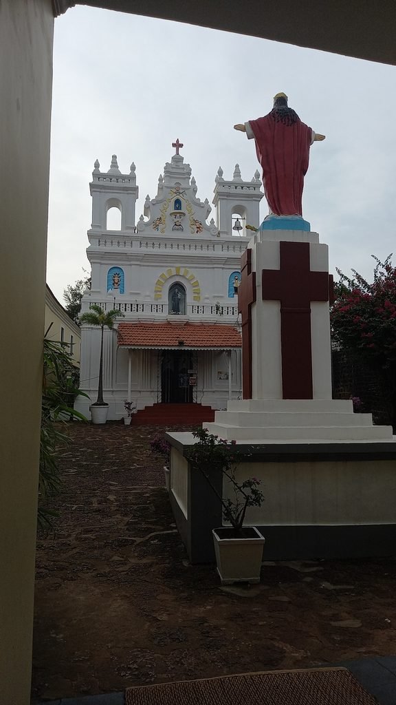
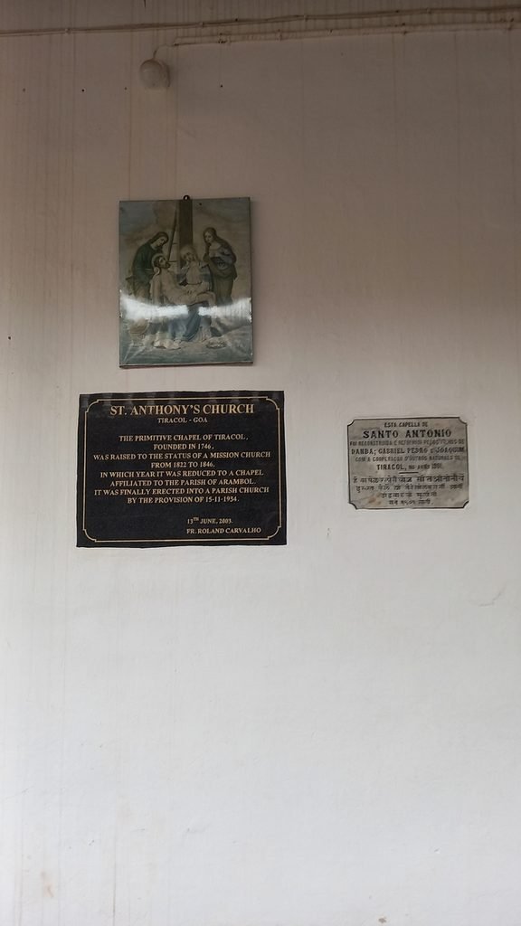
The raja of the Savantwadi principality built the fort in the 17th century. In 1746, the Portuguese captured the fort, rebuilt it, and used it to defend Goa’s northern borders. In the 20th century, the fort became one of the symbolic sites of the struggle to liberate Goa from Portuguese rule: in 1954, members of the nonviolent Satyagraha movement infiltrated the fort. In 1961, Goa became part of India.
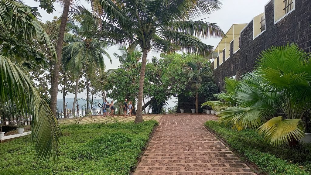
Visitor Tips
The fort is open from 9:00 a.m. to 7:00 p.m.; admission is by ticket, though access to certain rooms and the church may be restricted.
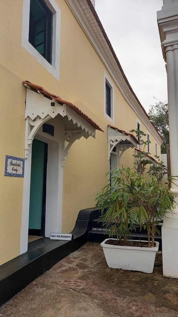
For a fully immersive experience, you can stay at the hotel right inside the fort. A night’s stay costs about 100 euros, but it’s a unique experience – spending the night in a genuine 17th-century landmark! The hotel is called Fort Tiracol Goa; you can compare prices on Booking.com and Agoda.
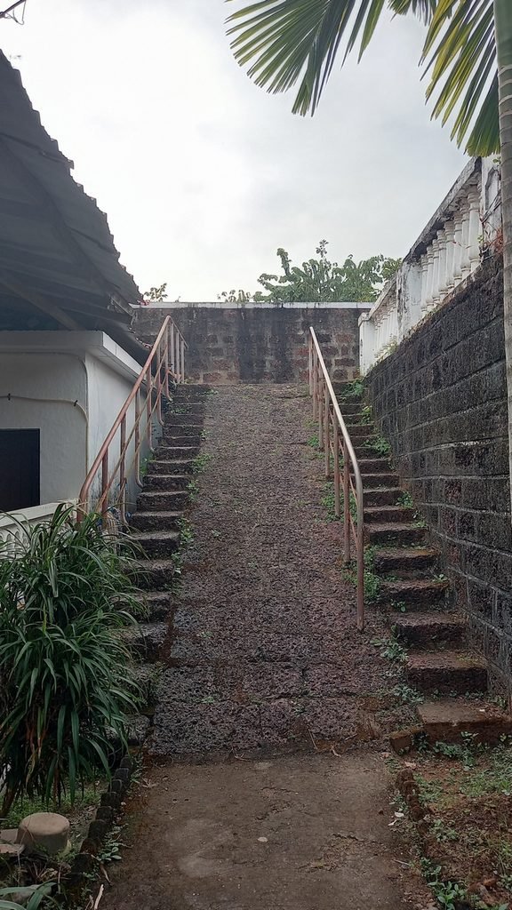
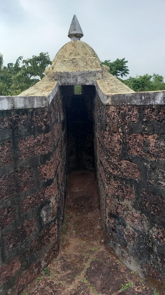
How to Get There
Take a scooter or taxi to the Kerim ferry terminal, and from there, take the public ferry across the Tiracol River. The ferry transports both passengers and vehicles for free. It runs from 6 a.m. to 10 p.m. every 30–45 minutes; the Goa River Transport Department posts the current schedule on its website (copy this address: rnd.goa.gov.in/kerim-tiracol).
You can also get there by taxi, car, or motorcycle via the Aronda Kiranpani Bridge to avoid being tied to the ferry schedule. But in this case, you’ll technically be traveling through the state of Maharashtra, and motorcycles with yellow license plates may not be allowed across the bridge (they can only operate within Goa).
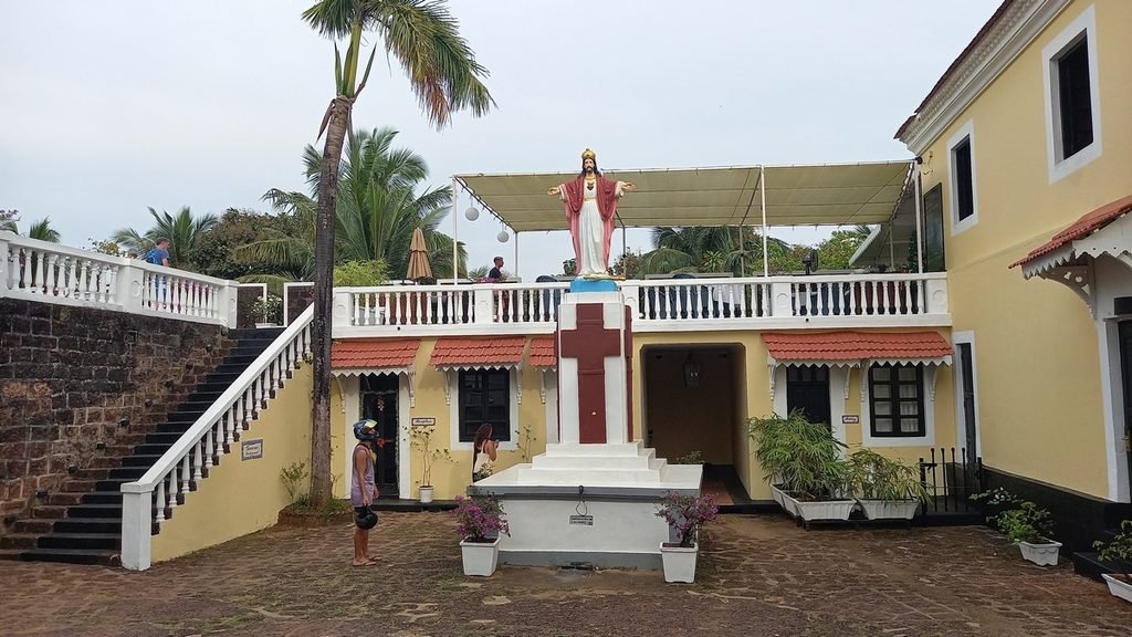
My rating: second place. A must-see, and if you’re in the north, you absolutely can’t miss it: everything is well-preserved, there’s a church on the grounds, you can stay overnight, the views are spectacular, and the ferry ride there is a unique experience.
Location on the map
Cabo de Rama Fort
A true hidden gem that not many people in South Goa know about, and in the north, only a handful. And it’s not even because this fort is from the epic Ramayana (you’ve heard I’m sure).
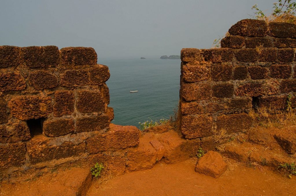
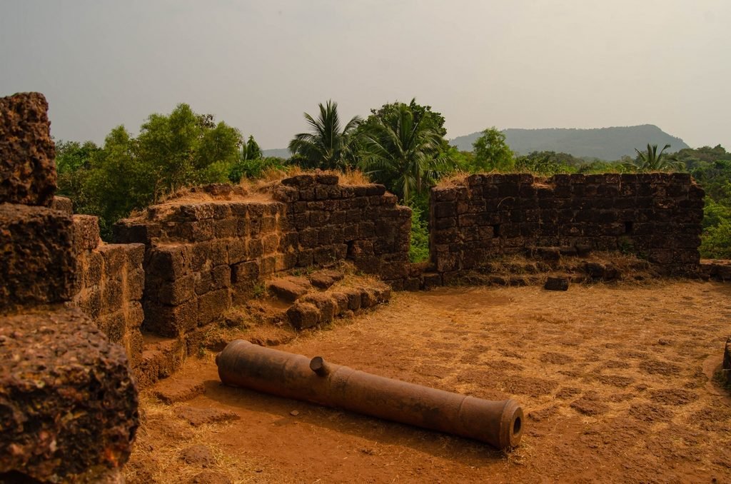
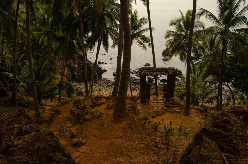
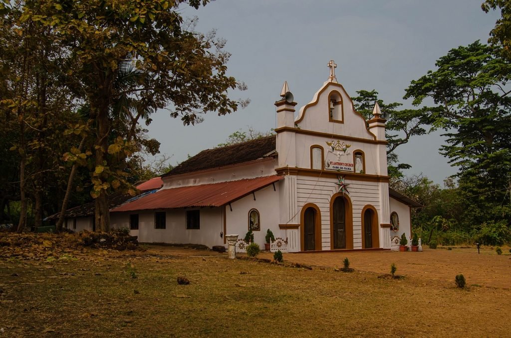
Cabo de Rama Fort is located on a rocky headland in the Canacona area. It’s a sprawling, partially ruined fortification with reddish laterite walls, antique cannons, and a small white church named after St. Anthony. The western side of the fort offers views of the Arabian Sea and sheer cliffs, and on clear days, it’s a great spot to watch the sunset.
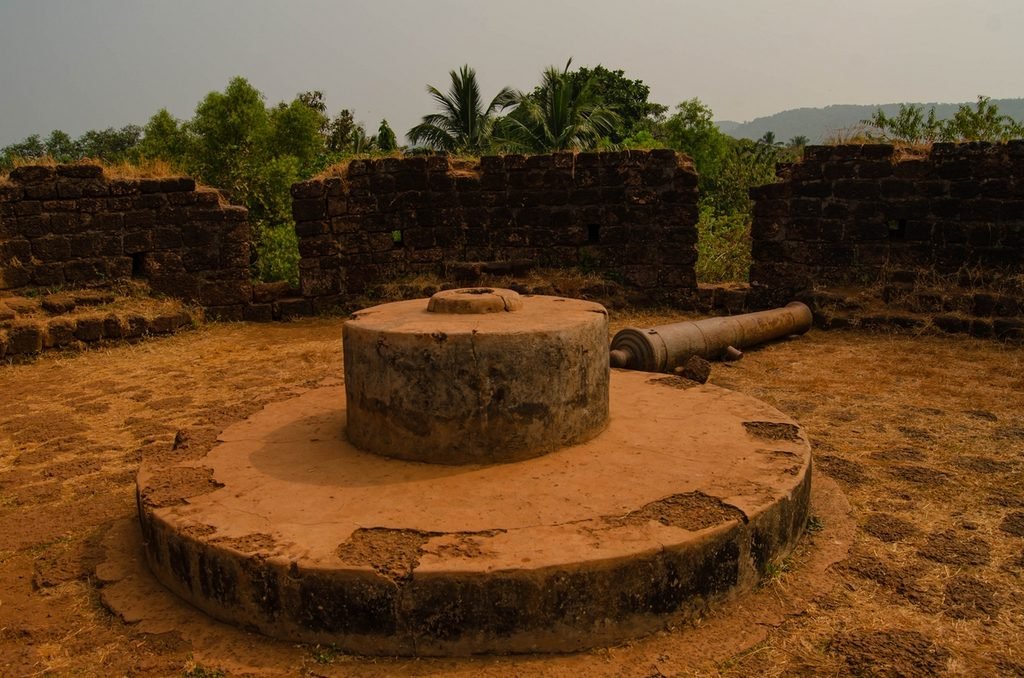
The fort’s name comes from a legend in the Ramayana: according to the story, Rama, his wife Sita, and his brother Lakshmana took refuge in this area during their exile.
The fort existed long before the arrival of the Portuguese and passed under the control of various local rulers. In 1763, the Portuguese seized it from Raja Sonda and rebuilt it, adding bastions, barracks, and artillery positions. Later, the Portuguese turned the fort into a prison, which operated until 1955.
Today, most of the structures lie in ruins, but people still use the church. And these ruins are incredibly photogenic, lush greenery frames it, making them especially beautiful.

Visitor Tips
Admission is free, but there’s a security guard at the entrance. You’ll need to give him your phone number and show some form of identification. A number off the top of your head and a souvenir ID card will do just fine.
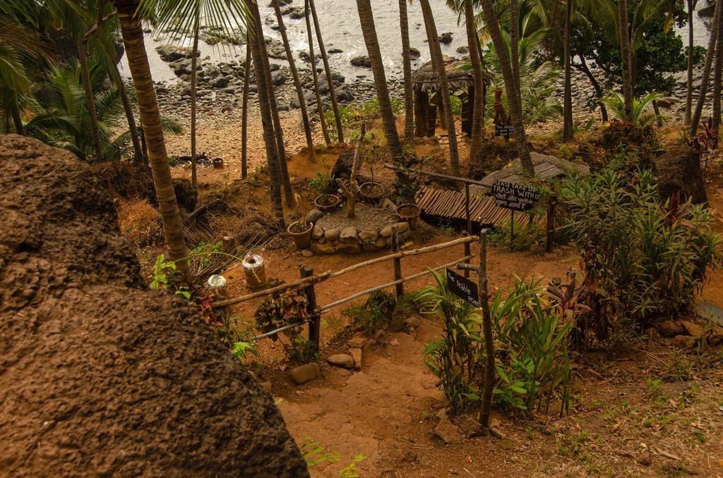
Facilities are minimal: it’s best to bring water and wear comfortable shoes. When it rains, the stone paths become very slippery, and there’s practically nowhere to take shelter from a downpour.
How to Get There
The fort stands about 28 km from Margao and 16 km from Agonda Beach. The most convenient way to get there is by motorcycle, rental car, or taxi, but keep in mind that you shouldn’t count on a taxi for the return trip, so it’s best to arrange a pickup time with the driver in advance.
Buses running from Agonda to Margao pass by the fort along the way, but it’s a little over four kilometers from the road to the fort itself. You can try to hitch a ride.
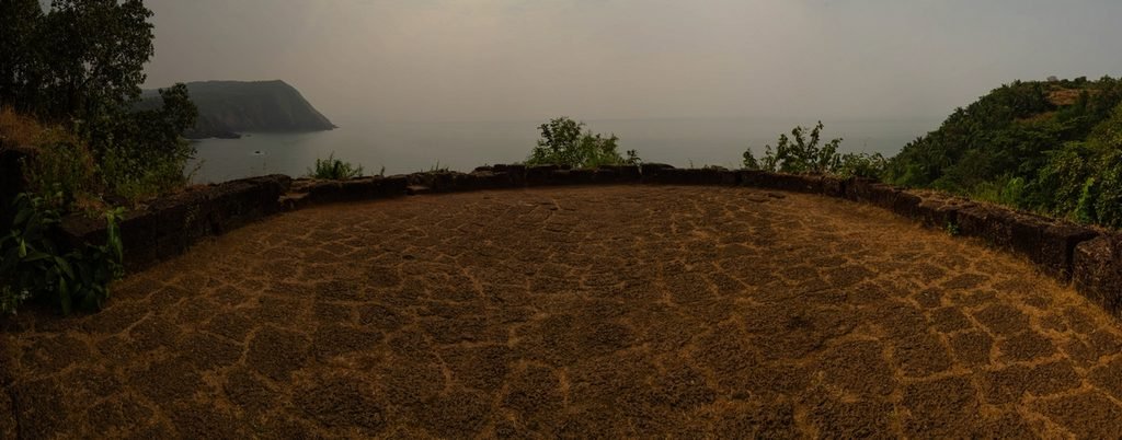
My rating: number one. The views, combined with the lush greenery and photogenic ruins, simply captivated me – it’s my favorite site of its kind in Goa.
Location on the map
Which forts in Goa left a lasting impression on you? And which ones, on the other hand, were a letdown? Share your thoughts in the comments!